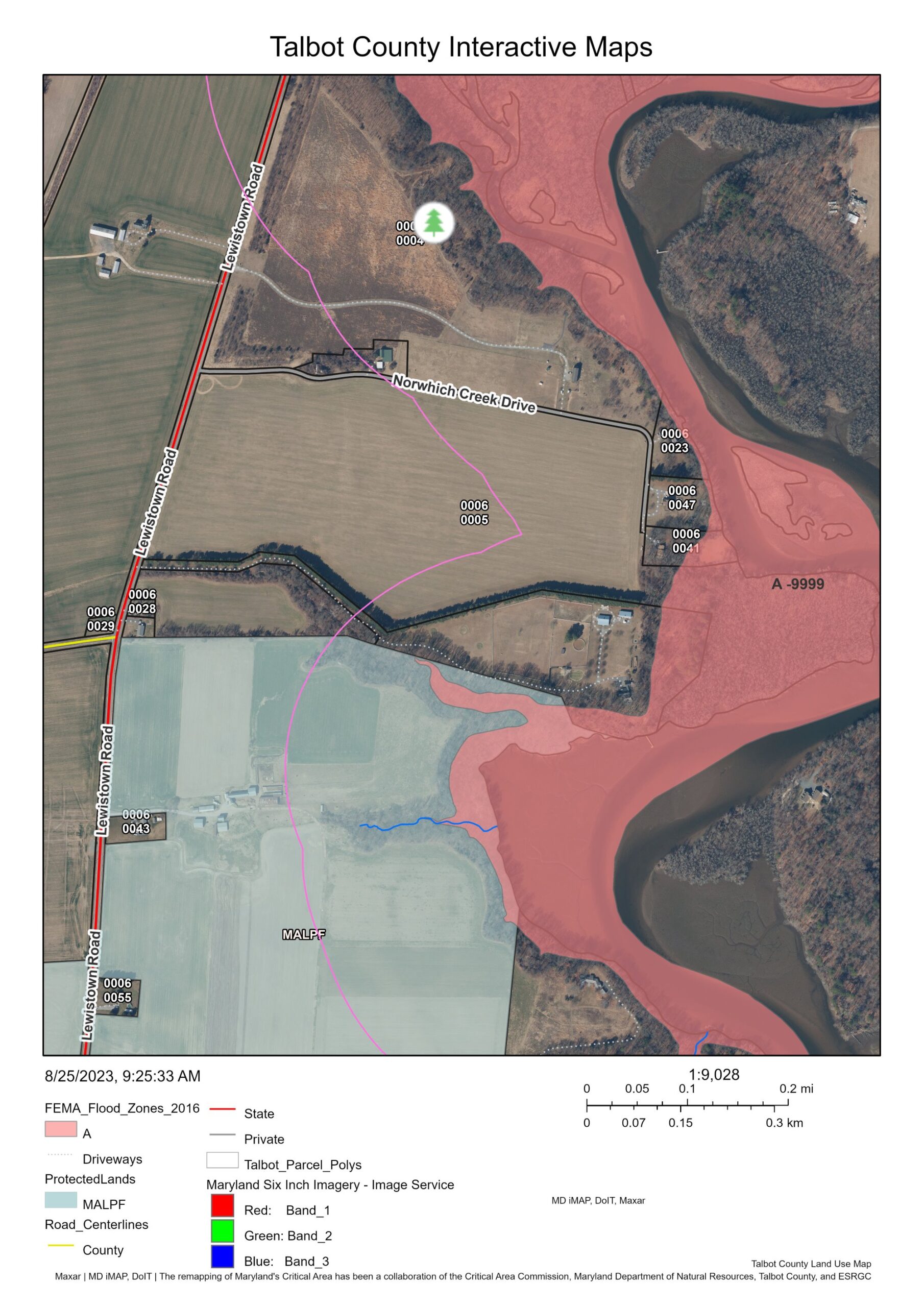
An example of a Talbot County Land Use Interactive Map shows county-owned land below Queen Anne off Lewistown Road. The red-shaded area shows a riverine flood zone and below in the blue-shaded area is a Maryland Agricultural Land Preservation Foundation easement. The maps are maintained by the Talbot County Department of Planning and Zoning and used as an easy way for real estate professionals, mortgage brokers, surveyors, appraisers, engineers, contractors, and other business leaders to search for information related to a specific property or the county at large. The maps can be accessed online at bit.ly/talbotgis.

Talbot County’s Interactive Land Use Maps Help Business Leaders Make Informed Decisions

The Talbot County Department of Economic Development and Tourism is encouraging business leaders to familiarize themselves with the power of Talbot County’s…